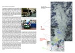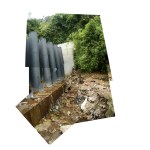
Workshop Documenting Ravines, Quito Ecuador June 2008 and Graduate Design Studio Fall 2012.
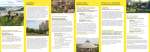
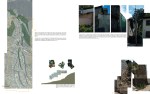
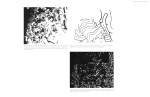
Published: Book Chapter “Appropriating Topography: Informal Settlements in Quito’s Ravines” in Hand On Urbanism: the Right to Green (Pages seen below). As well an Exhibited (same title) in Vienna at the Architekturzentrum 2012 & the Venice Architectural Biennial 2012.
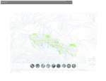
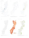
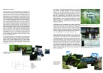
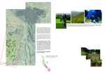
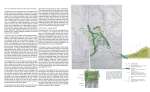
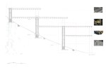
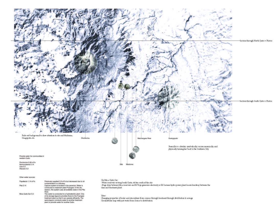
In Fall 2012 a graduate level design studio focused on the question of how to develop settlement infrastructure in the unique ecologies and topographical conditions of the South American city, Quito Ecuador. It examined various settlement infrastructural strategies used in similar topographical conditions (ex. Inca city of Cusco, historical agrarian techniques and the informal rural/urban settlements of this region today) as well as examples of water infrastructure systems (ex. Romans and their hill town infrastructures).
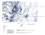
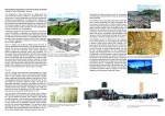
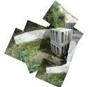
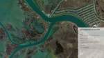
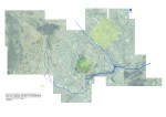
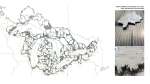
Ecology is the study of the relationship between an organism and its environment. The area of study, for the term is the slopes above and surrounding the plateau city of Quito Ecuador. Quito, one of the highest plateau cities in the Andean mountain range, sits at an elevation of 2,850m above sea level, almost at the latitude of the equator. Its’ long narrow footprint runs north-south and is flanked on either side by volcano’s. Coined ‘the valley of the volcanoes,’ whose seven volcanic peaks rise up steeply from the plateau to the height of the closest volcano the Pichincha (4,784m) and next Cotopaxi (5,897m). Quito, referred to as ‘the city in the clouds’, that move quickly, due to the elevation, and can obscure if only momentarily parts of its surrounding landscape. This immediate landscape at the limit of the plateau is basically vertical, creating simultaneously horizon and constraint. These phenomenological aspects of a ‘place’ are often embedded.
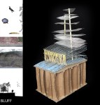
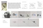
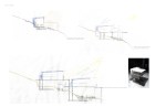
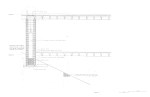
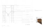
Note: Contact Author for Original/Detail Images and Texts. Feature Image by Manjula Singh an initial sketch of water infrastructure.